The Porter Hills Conservation Initiative — Phase II
(Published 2024) The Porter Hills Initiative was started three years ago with the acquisition of several properties, including the jewel of the Porter Hills, Devils Den. Initially, several unconnected properties were on the market, which were the driving force for starting the project. Then a funny thing happened. As properties were added and people became aware of the initiative, owners in the area saw an opportunity to create a larger protected block of land available for public use by offering their land for sale as well.
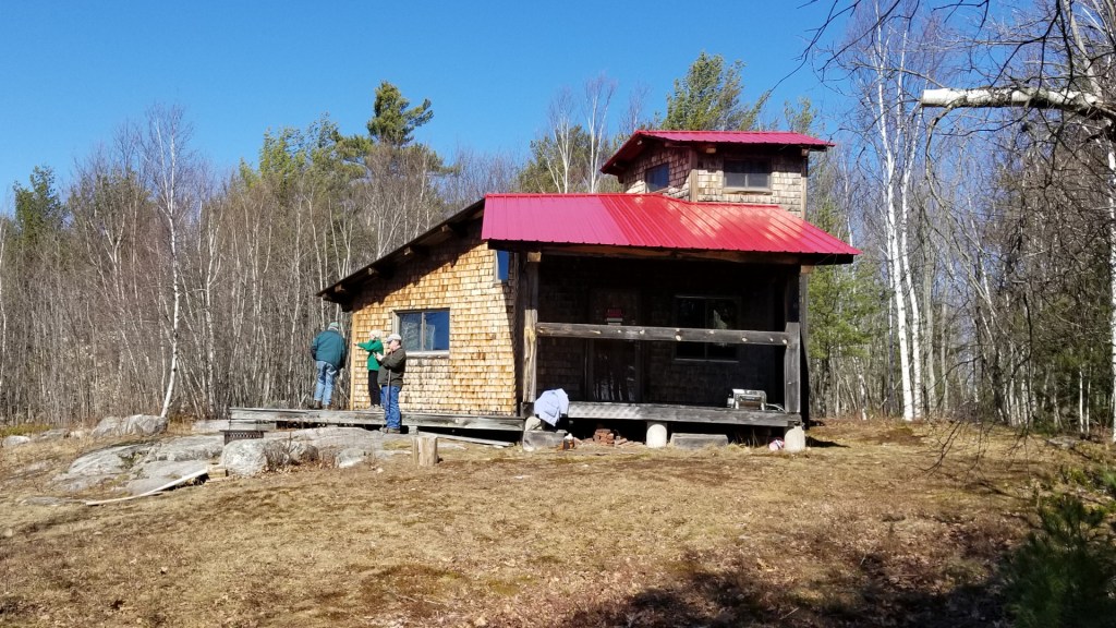
With Phase I of the project just recently accomplished (see our 2022 and 2023 Newsletters for information about Phase 1 of the Porter Hills Initiative), Phase II began with two additional properties next to Devils Den on Moody Road. Those properties totaling nearly 100 acres connected the isolated Porter Heath to Devils Den. Parts of the larger property from which those properties were taken were part of a 15-acre working farm. FSHT worked with another land trust, Land in Common, which specializes in preserving active farm land, so that the farm could be continued with their ownership.
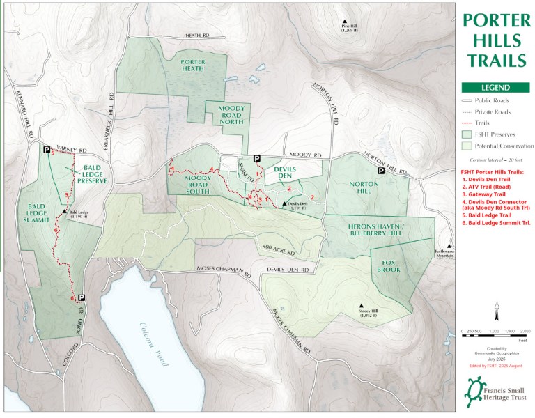
With those acquisitions in progress, a third opportunity arose. The 90-acre Norton Hill property connects Devils Den with the FSHT properties to the southeast — the Heron’s Haven, Blueberry Hill, and Fox Brook parcels, and additionally has a half mile of road frontage. This means that there will be a continuous connection from the Porter Heath, through Devils Den, to the FSHT Fox Brook parcel, which also connects to the Maine Woodland Owners’ Norm Nelson Forest parcel!
We did not have the lead time nor the money to buy the Norton Hill property, but a generous conservation buyer stepped in to purchase and hold it while time was of the essence. Sometime in 2025, FSHT will be able to raise the funds for that land as well. Eventually, we will be able to establish a continuous trail stretching for miles across publicly accessible FSHT land. Exciting times.
We still have money to raise, trails to build, taxes to pay, and all of the due diligence that is required for purchasing land responsibly, such as surveys and environmental assessments. But with the generous support of many organizations and donors, it will be done.
Finally, as part of completing Phase I, we have almost finished the construction of three parking areas so that visitors will have a place to park while enjoying the Porter Hills. That work, as well as the development of new trails, is ongoing.
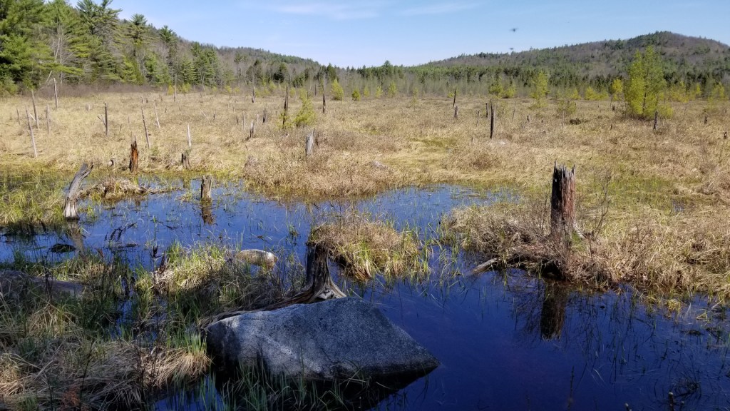
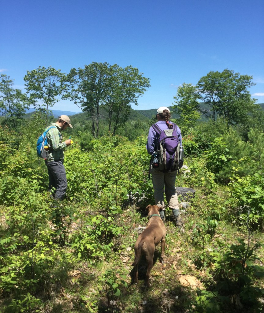
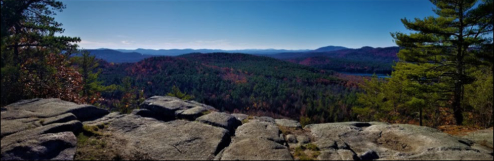
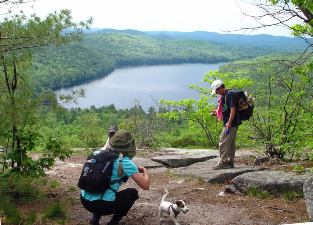
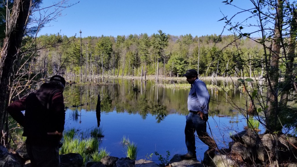
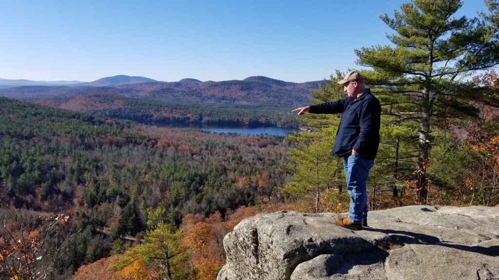
We have quite a story of accomplishments here in the Porter Hills, and our story is very much of a work in progress. Whenever you can, take a hike here, go hunting, or just come here for the many opportunities to enjoy the nature of these beautiful places.